• List of Landmarks
  • Interactive Map
  • Atlanta University Center
  • Carter Center
  • Freedom Park
  • Georgia State Capitol
  • Jimmy Carter Library
  • Liberty Plaza
  • MLK Historical Park
  • Nat'l Center for Civil & Human Rights
  • Rodney Cook, Sr. Park
  • Sweet Auburn District
  • Photo Galleries
    • Carter Center
    • State Capitol
    • Liberty Plaza
    • MLK Park
  • Newsletter
Atlanta Freedom Trail

The Carter Center

“I have one life and one chance to make it count for something... My faith demands that I do whatever I can, wherever I am, whenever I can, for as long as I can with whatever I have to try to make a difference.” —  ​Jimmy Carter
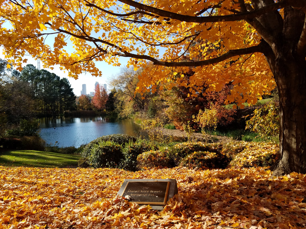
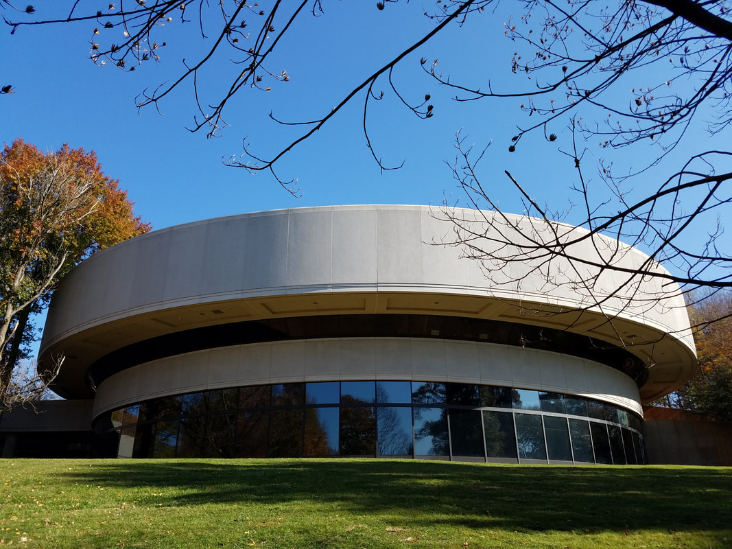
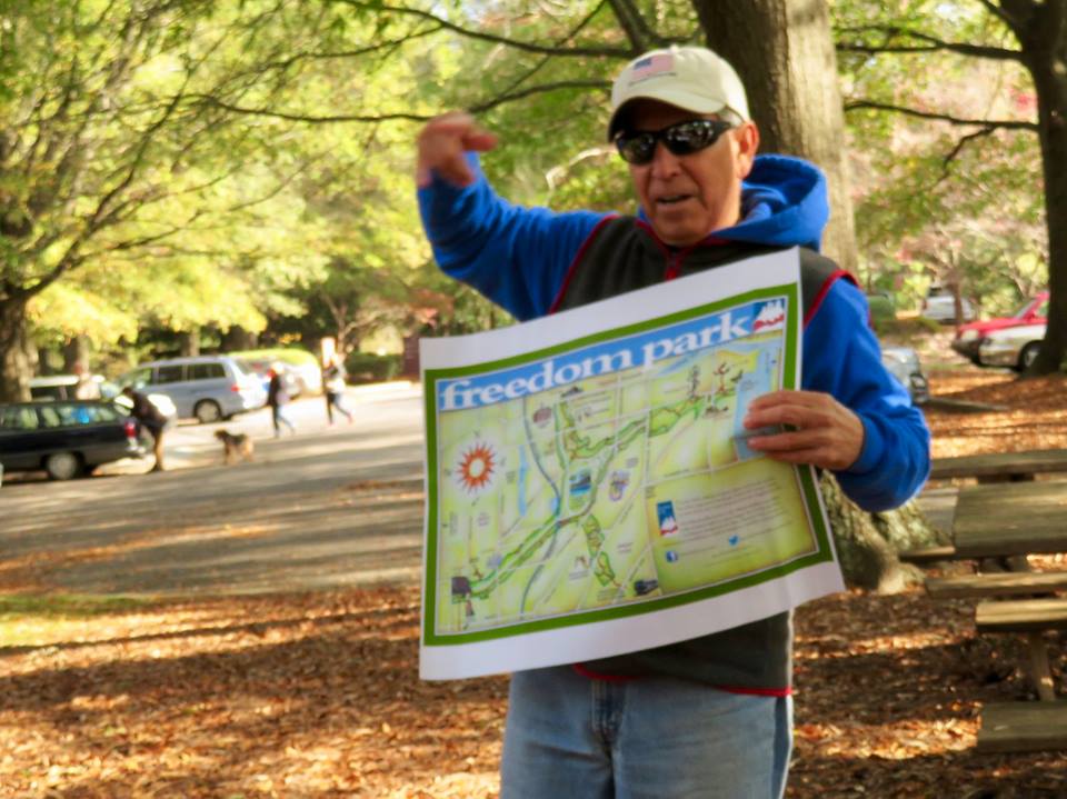
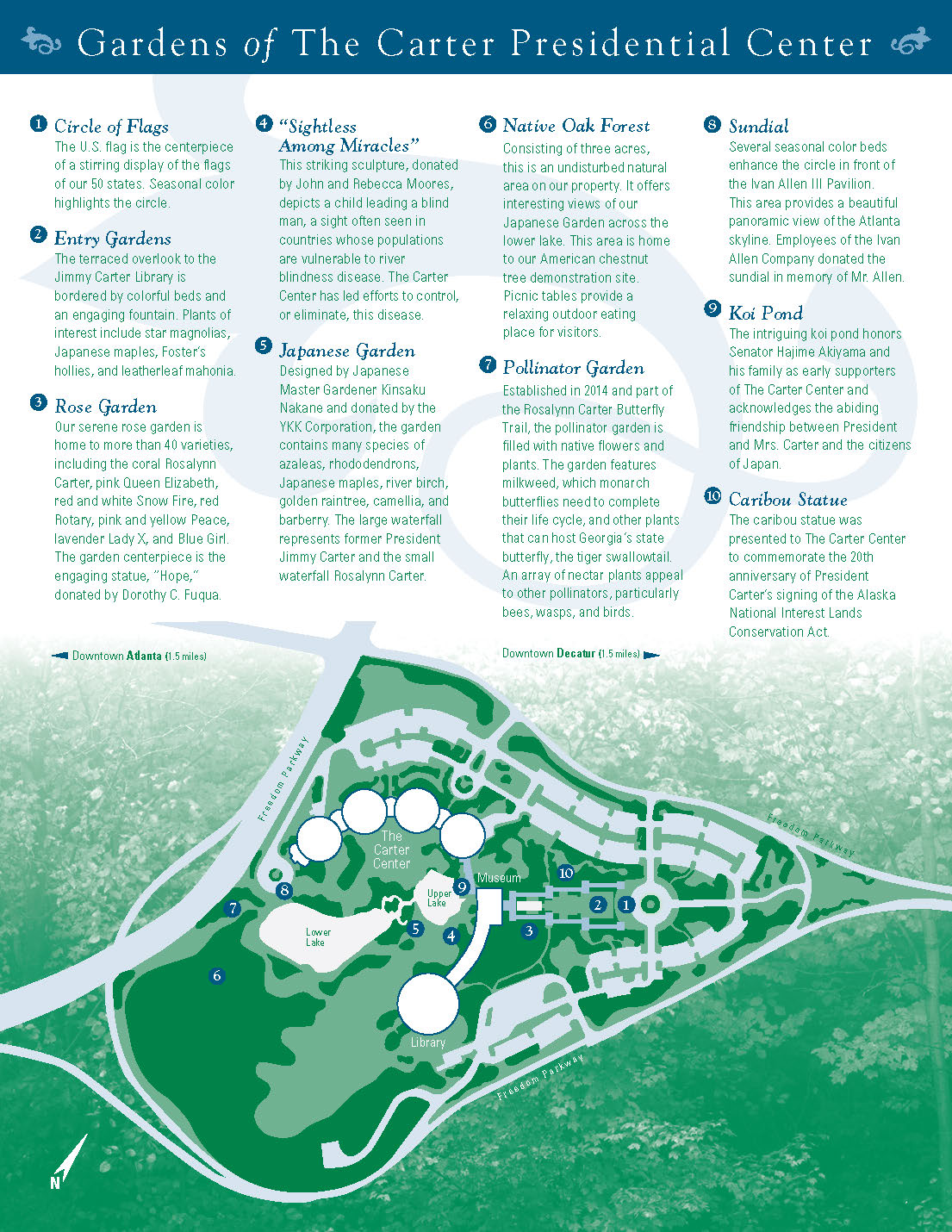
The Carter Center is a nongovernmental, not-for-profit organization founded in 1982 by former U.S. President Jimmy Carter. He and his wife Rosalynn Carter partnered with Emory University just after his defeat in the 1980 U.S. Presidential elections. The center is located in a shared building adjacent to the Jimmy Carter Library and Museum on 37 acres of parkland two miles from downtown Atlanta. The library and museum are owned and operated by the United States National Archives and Records Administration, while the Center is governed by a Board of Trustees, consisting of business leaders, educators, former government officials, and philanthropists.
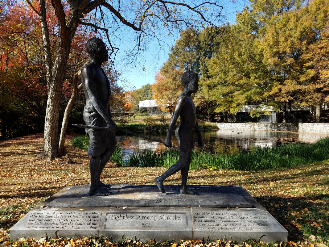
​This video shows an overview of the Carter Center's efforts to advance human rights and alleviate unnecessary human suffering in over 80 countries. At work in many of the poorest regions in the world, The Carter Center brings hope to those who need it most.
​The Atlanta Freedom Trail Tour was created by ATLsherpa. ​Please subscribe to my complimentary podcast & newsletter to get updates and access to new tours and other educational tools.
Picture

IMPORTANT

 Access to the inside of the Carter Center is by appointment only. However, the grounds of the Carter Center are open to the public and well-worth exploring.

Carter Center Grounds

​​Located in a wooded 35-acre park just five minutes from downtown Atlanta, The Carter Center's spectacular grounds include formal gardens, sculptures and waterfalls tucked between two small lakes. The map below shows the location of ten "must-see" features that make this landmark so special. You can easily spend an hour exploring these grounds and it will be worth every minute!
Picture
Carter Center Grounds Map (click on image to download)
​​​MAP LEGEND
  1. Circle of Flags — The U.S. flag is the centerpiece of a stirring display of the flags of our 50 states. Seasonal color highlights the circle.
  2. Entry Gardens — The terraced overlook to the Jimmy Carter Library is bordered by colorful beds and an engaging fountain. Plants of interest include star magnolias, Japanese maples, Foster’s hollies, and leather leaf mahonia.
  3. Rose Garden — Our serene rose garden is home to more than 40 varieties, including the coral Rosalynn Carter, pink Queen Elizabeth, red and white Snow Fire, red Rotary, pink and yellow Peace, lavender Lady X, and Blue Girl. The garden centerpiece is the engaging statue, “Hope,” donated by Dorothy C. Fuqua.
  4. “Sightless Among Miracles” — This striking sculpture, donated by John and Rebecca Moores, depicts a child leading a blind man, a sight often seen in countries whose populations are vulnerable to river blindness disease. The Carter Center has led efforts to control, or eliminate, this disease.
  5. Japanese Garden — Designed by Japanese Master Gardener Kinsaku Nakane and donated by the YKK Corporation, the garden contains many species of azaleas, rhododendrons, Japanese maples, river birch, golden raintree, camellia, and barberry. The large waterfall represents former President Jimmy Carter and the small waterfall Rosalynn Carter.
  6. Native Oak Forest — Consisting of three acres, this is an undisturbed natural area on our property. It offers interesting views of our Japanese Garden across the lower lake. This area is home to our American chestnut tree demonstration site. Picnic tables provide a relaxing outdoor eating place for visitors.
  7. Pollinator Garden — Established in 2014 and part of the Rosalynn Carter Butterfly Trail, the pollinator garden is filled with native flowers and plants. The garden features milkweed, which monarch butterflies need to complete their life cycle, and other plants that can host Georgia’s state butterfly, the tiger swallowtail. An array of nectar plants appeals to other pollinators, particularly bees, wasps, and birds.
  8. Sundial — Several seasonal color beds enhance the circle in front of the Ivan Allen III Pavilion. This area provides a beautiful panoramic view of the Atlanta skyline. Employees of the Ivan Allen Company donated the sundial in memory of Mr. Allen.
  9. Koi Pond — The intriguing koi pond honors Senator Hajime Akiyama and his family as early supporters of The Carter Center and acknowledges the abiding friendship between President and Mrs. Carter and the citizens of Japan.
  10. Caribou Statue — The caribou statue was presented to The Carter Center to commemorate the 20th anniversary of President Carter’s signing of the Alaska National Interest Lands Conservation Act.

Historic Ground

Ironically, the Carter Center — an organization whose stated mission includes "Waging Peace" — sits on 35 acres of public land that has seen some less-than-peaceful events over the years. These include a gruesome Civil War battle and an equally frightening (proposed) freeway interchange...
​BATTLE OF ATLANTA
​The land where the Carter Center sits today was the site of the Augustus Hurt house, which served as General Sherman's temporary headquarters during the Battle of Atlanta. That pivotal encounter (July 22, 1864) is captured in the Cyclorama painting, which is located at the Atlanta History Center.

The Augustus Hurt house can be seen in Cyclorama photos below. If you look closely you can also see General Sherman (on his horse) watching the battle unfold in front of him. If you look very closely (behind the house) you can also see the "ambulance" that delivered General James B. McPherson's body to Sherman, after he was shot and killed in what is now East Atlanta Village.


​The fierce battle scenes depicted in the Cyclorama painting occurred less than one mile south of the Carter Center where the Inman Park MARTA station is today. This is further explained on the Freedom Park stop of the Atlanta Freedom Trail Tour.
Illustration of the Augustus Hurt House
Historical marker that marks the location of the Augustus Hurt House at the Carter Center today
In this photo of Cyclorama you can see the Augustus Hurt House on top of Copen Hill. Gen Sherman can be seen in the center of the photo (facing left) on his horse.
Close up of Augustus Hurt House as depicted in the Cyclorama painting. The ambulance that delivered Gen. McPherson's body can be seen behind the house (far right side of photo).
COPENHILL FREEWAY
​Copenhill, created by combining the names of three Atlanta realtors — Coker, Pennington and Hill — became a famous 19th century Atlanta suburb. The centerpiece of the new neighborhood was Madeira Park, which was bordered by Williams Hill Road to the south, Sinclair Avenue to the northwest, Southern Railroad tracks to the east and located several blocks from the streetcar line on Ponce de Leon Avenue.

​Copenhill was to follow Inman Park as Atlanta’s second garden suburb. The site later became the home of Atlanta insurance man, A. L. Walden and subsequently the Southern Christian House. Most of Copenhill was rezoned as an industrial zone in 1929, and razed in the 1960’s for the creation of I-485. I-485 was never constructed and President Carter acquired 33 acres of this prime property for the construction of The Carter Center. Prior to developing The Carter Center, Copenhill had fallen into disrepair. Revitalized and reclaimed through the efforts of a southern son, and raised like the symbol of Atlanta — a phoenix from the ashes — Copenhill is presently flourishing in the midst of the thriving, present day communities of Poncey-Highland and Inman Park.

​Source: The Civil War: Atlanta and Copenhill by James A. Yancey Jr. (Former Archivist, Jimmy Carter Presidential Library)
Neighborhood Plan for Copenhill Park, 1887
Copenhill Park, 1917
PHOTO GALLERY

Points of Interest*

  • Atlanta Beltline
  • Augustus Hurt House historic marker
  • Battle for Atlanta historical marker
  • Freedom Park Farmer's Market
  • Stone Mountain Trail
* All of these can be found on the Interactive Map

Learn More

  • Carter Center Photos (inside and out)
  • Carter Center Mission
  • Carter Center Accomplishments
  • Carter Center Gardens Map
  • Carter Center Upcoming Events
  • The Civil War: Atlanta and Copenhill (must-read)
  • History of Copen Hill (Wikipedia)

Getting There

  • Freedom Trail Interactive Map
  • Google Maps
  • The Carter Center is about one mile (walking) from the Inman Park MARTA station
  • This site has several large parking lots
INTERACTIVE MAP
LIST OF LANDMARKS

​​[ AJC Article | Download Flyer ]
Picture
Picture
  • List of Landmarks
  • Interactive Map
  • Atlanta University Center
  • Carter Center
  • Freedom Park
  • Georgia State Capitol
  • Jimmy Carter Library
  • Liberty Plaza
  • MLK Historical Park
  • Nat'l Center for Civil & Human Rights
  • Rodney Cook, Sr. Park
  • Sweet Auburn District
  • Photo Galleries
    • Carter Center
    • State Capitol
    • Liberty Plaza
    • MLK Park
  • Newsletter